The colours of Sweden.
A place, seen through its palette. Explore the image colours within Sweden’s boundary, from the annual blend to twelve individual months.
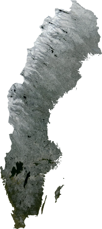
THE REGION, IN ONE COLOUR
RGB 116 · 121 · 119
An area-weighted average of image colours inside the boundary. It is a blend, not the most common colour.
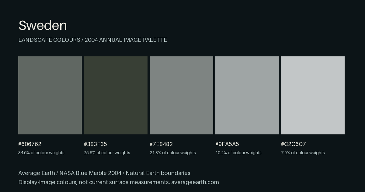
The palette within
Representative colour groups · click a hex code to copy
Percentages are shares of area-weighted image colours, not forest, water or other land-cover percentages.
ONE PLACE, TWELVE MONTHS
A year in colour
Select a month to change the map and palette above. These are the supplied 2004 images, not typical seasonal averages.
A FAMILIAR PALETTE, SOMEWHERE ELSE
Colour Twins
Where else shares Sweden’s colours? Discover the closest matches in our country, territory and US state collection.
3 closest palettes in the collection · Annual mean 2004
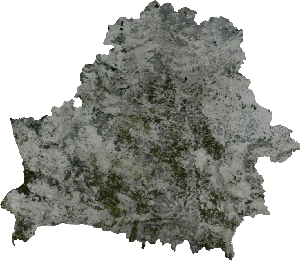
Europe
Belarus
Average #6D6F68
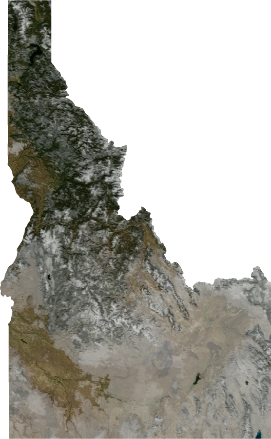
US state · North America
Idaho
Average #7A776D
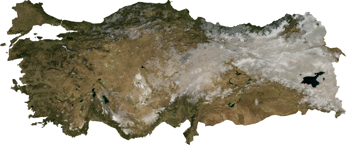
Asia
Turkey
Average #7D7462
Matches compare all five colour groups and their proportions. Both places use the same period. Closest does not always mean nearly identical.
How are twins found?
Colours are compared in Oklab, a space designed around perceived colour differences. Palette matching accounts for each colour’s share, regardless of swatch order. Results are ranked within the published collection; a country and its own states are excluded from one another’s matches. “Another continent” uses the regional catalogue’s continent labels.
NASA Blue Marble 2004 display-image colours, not current imagery. Similar colours do not establish similar climate or land cover. Palettes summarise colour distributions, not the arrangement of features in a landscape. Change the month above to discover different twins, or use “Share this view” to keep this selection.
SIX MONTHS APART
January & July
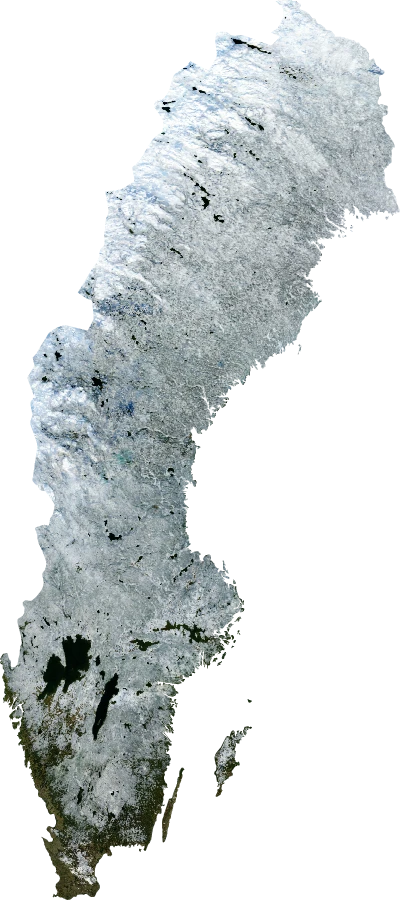
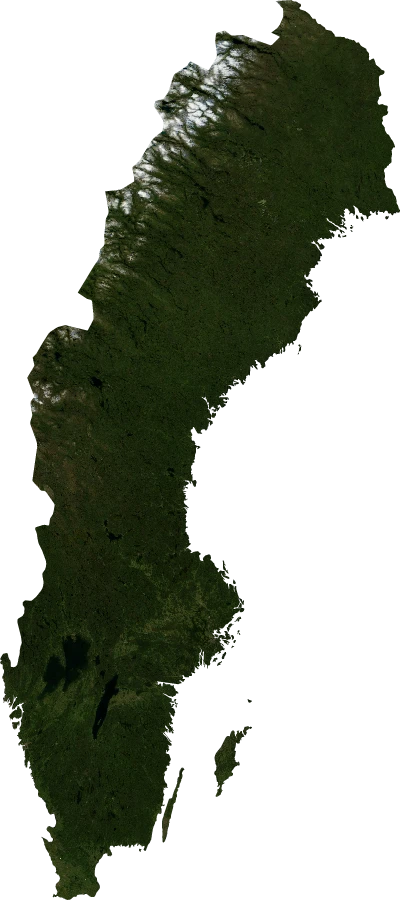
Compare the same boundary in two supplied months. Differences describe the imagery; they do not establish climate trends or explain the causes of change.
READING THIS PROFILE
A blend, a palette,
and a year of images.
The annual image mean for Sweden is #747977. January’s regional mean is #A1ABAE, compared with #28311D in July. Each value combines image pixels across the boundary, with fractional edge coverage and spherical area weights.
The largest annual colour group represents approximately 34.6% of the colour weights and has representative hex value #606762. The palette groups similar colours; it does not classify land use.
This follows Natural Earth’s Sweden boundary feature, with large boundary lakes removed. The calculations use NASA’s full-resolution 2004 base maps. The world atlas uses a coarser lookup, so its individual point samples are not equivalent to these regional averages.
TAKE THE COLOURS WITH YOU
A palette worth keeping.
Download the annual palette card, or all thirteen views’ colour data with sources attached.
Sources & sampling
What was sampled
The boundary covers the equivalent of about 4,525,094 complete source pixels. A source pixel spans 1/240°—about 463 metres north–south. These are broad image colours, not street-level measurements.
Approximately 100% of the sampled pixel coverage lies in cells at least 15/16 inside the boundary. Mixed coastal pixels can still contain water colours.
How it was prepared
Boundary coverage is estimated with 4 × 4 subpixel samples. Colours are averaged in linear light and weighted by spherical cell area. The annual image weights the twelve months by their days in leap year 2004. Five deterministic colour groups form each palette.
Maps use a local equirectangular display, with longitude scaled at the region’s mid-latitude. Display images sample the native imagery; every covered source pixel contributes to the statistics. Small regions open as a colour-filled outline when satellite detail is limited.
Imagery: NASA Blue Marble Next Generation. Boundaries: Natural Earth 5.1.1, 1:10m, public domain, default de facto geography with large boundary lakes removed. Boundaries are not a statement about sovereignty and may differ from those in 2004. Image processing can influence colour. No NASA endorsement is implied. More about the atlas method.
All monthly average colours
| Period | Hex | RGB |
|---|---|---|
| Annual mean | #747977 | 116, 121, 119 |
| January | #A1ABAE | 161, 171, 174 |
| February | #A5ABAC | 165, 171, 172 |
| March | #A2A5A3 | 162, 165, 163 |
| April | #90938F | 144, 147, 143 |
| May | #5C5E56 | 92, 94, 86 |
| June | #383D2F | 56, 61, 47 |
| July | #28311D | 40, 49, 29 |
| August | #232B17 | 35, 43, 23 |
| September | #252B1B | 37, 43, 27 |
| October | #474D48 | 71, 77, 72 |
| November | #7F8A88 | 127, 138, 136 |
| December | #84908F | 132, 144, 143 |