BEYOND THE MAP
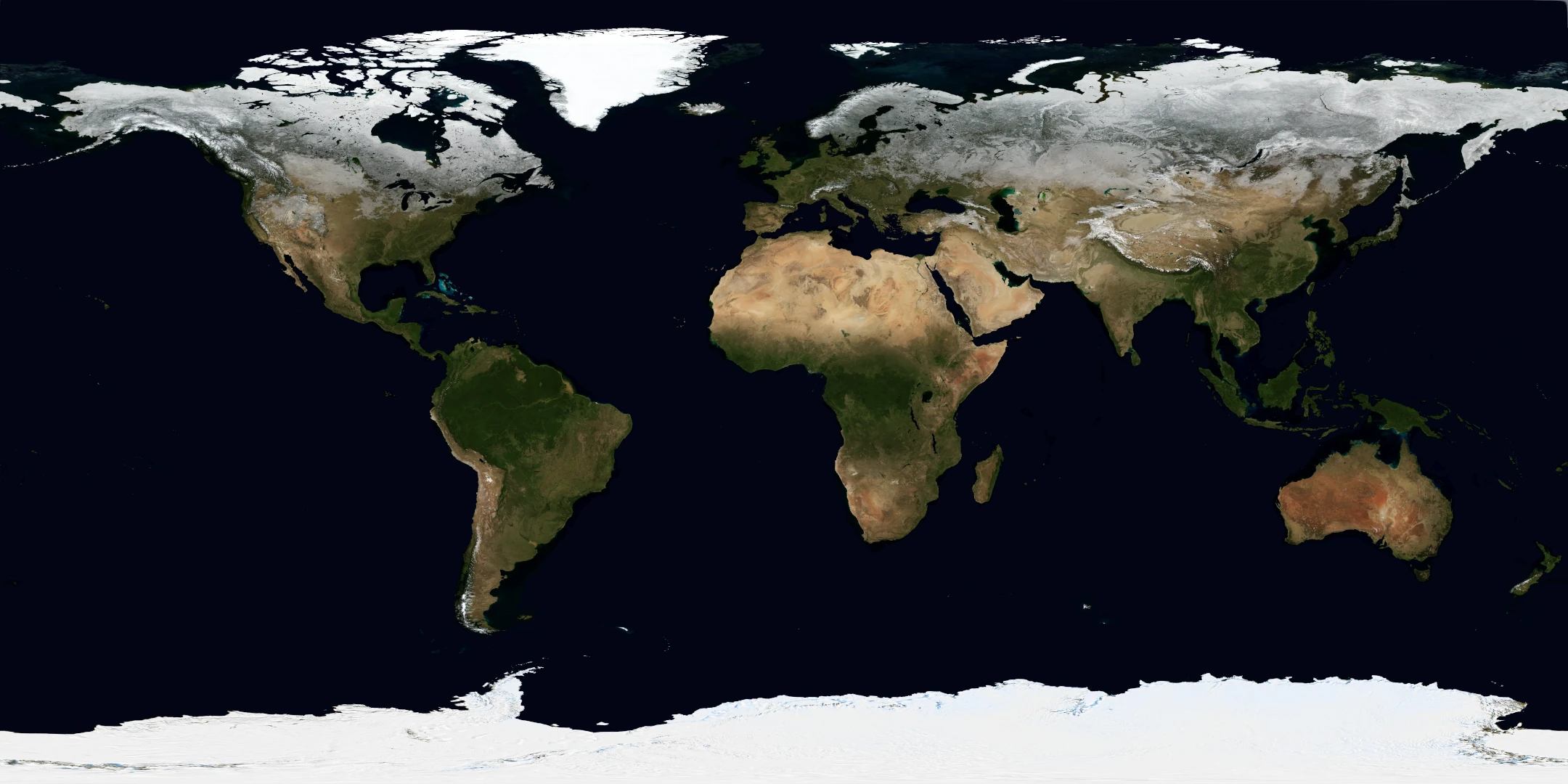
Average Earth turns NASA Blue Marble imagery into a world colour map. Pick a location to see its RGB and hex colour, compare latitude and longitude bands, or follow that place through twelve monthly images from 2004. Share a view or export its colours for your own study.
The annual view is a day-weighted average of those monthly display images. The 0.5° lookup describes broad areas, not individual buildings. Ocean colours are rendered imagery, and the dataset is neither a live satellite feed nor a long-term climate record.